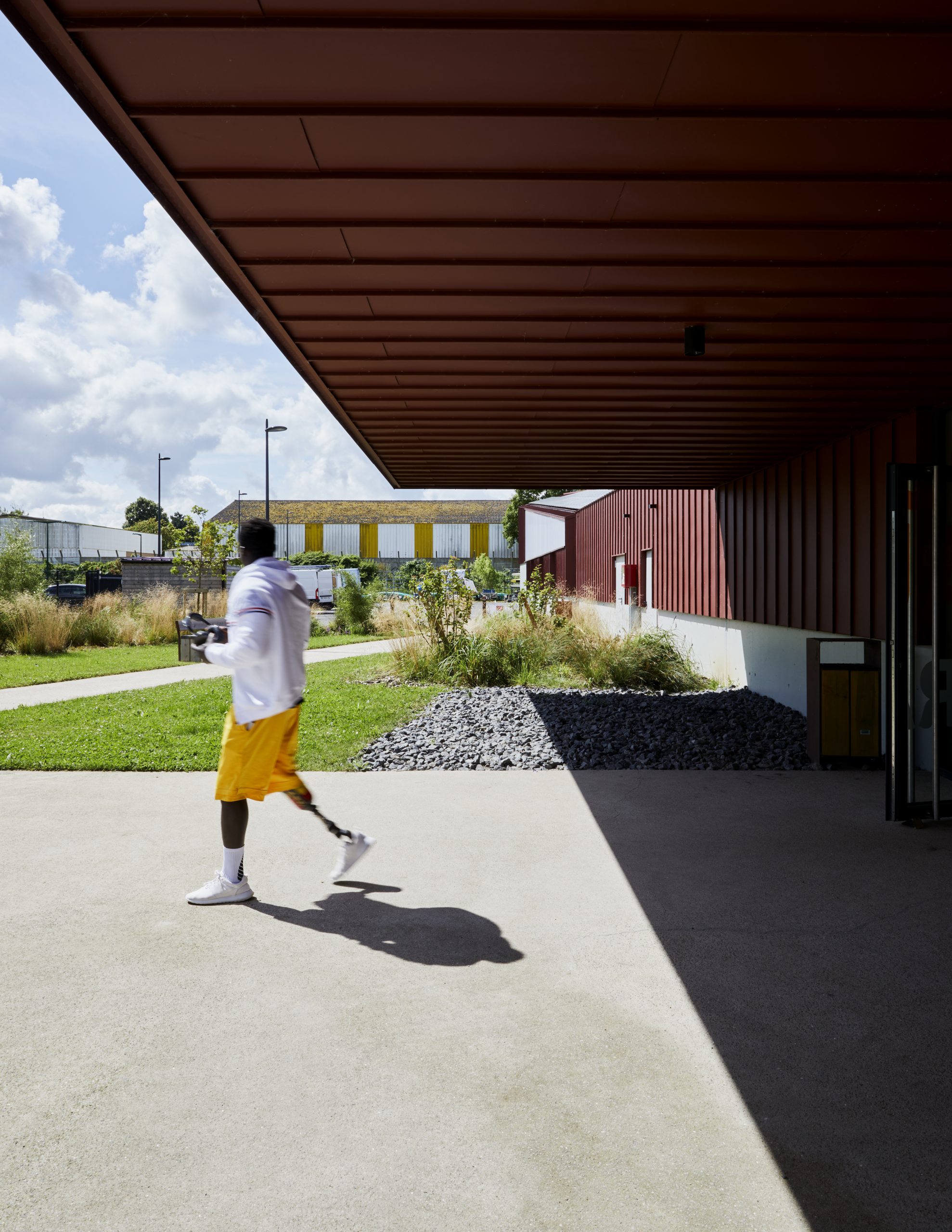
Located south of Saint-Laurent-Blangy, on the site of the river port, the project runs along the towpath of the Scarpe Canal. This green corridor connects Arras to Fampoux within the broader framework of the Arrageois green and blue network. The new nautical base, classified as a public-access facility (ERP), is designed to accommodate 400 people. The program brings together sports, administrative, technical, and storage facilities. This new local amenity allows the community to access a high-quality structure for discovering canoeing and kayaking, while also hosting high-level sports activities.

A highly frequented axis dedicated to sports and recreational activities, the project naturally integrates into the surrounding context. It becomes both a remarkable landscape feature and a waypoint along a series of facilities stretching from Arras to the center of Saint-Laurent-Blangy.


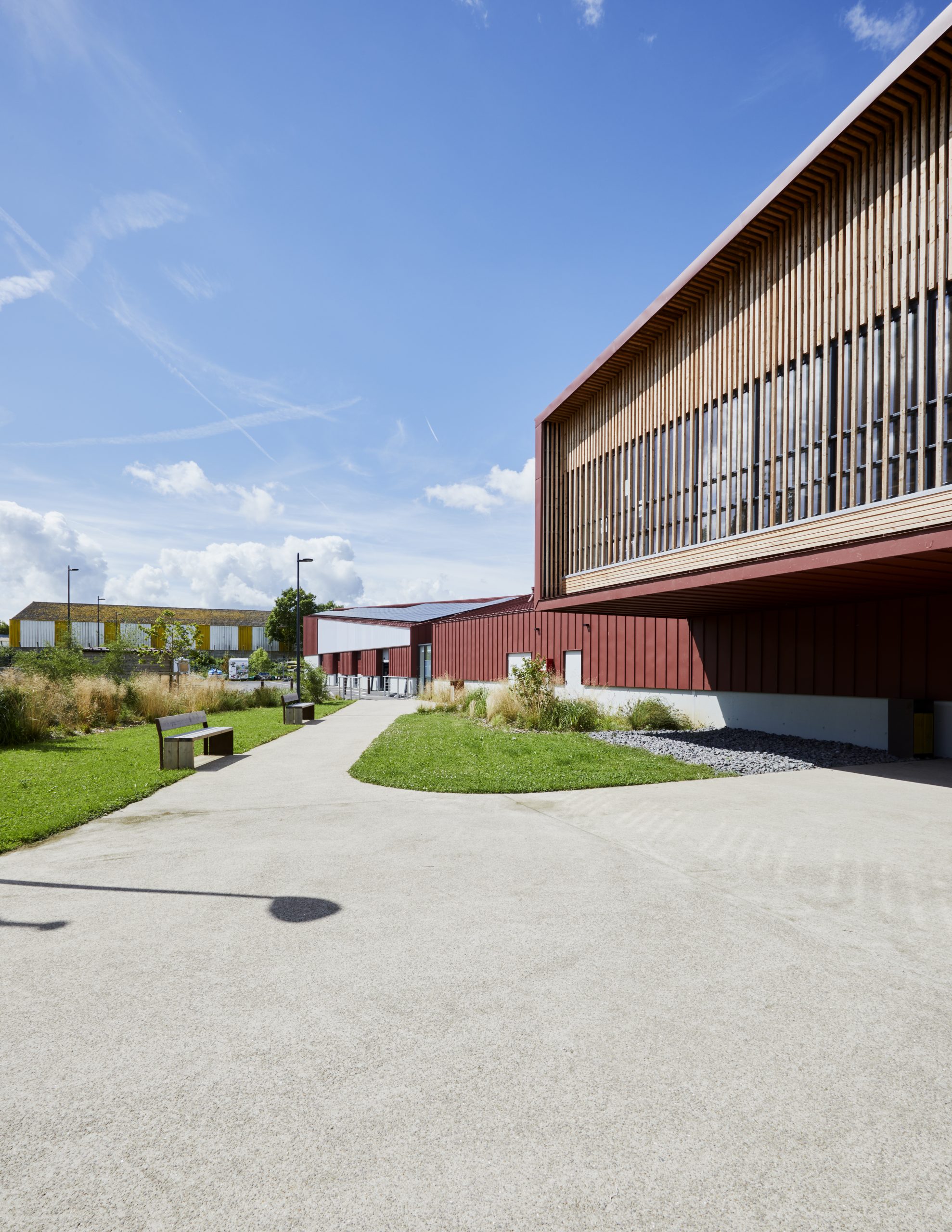
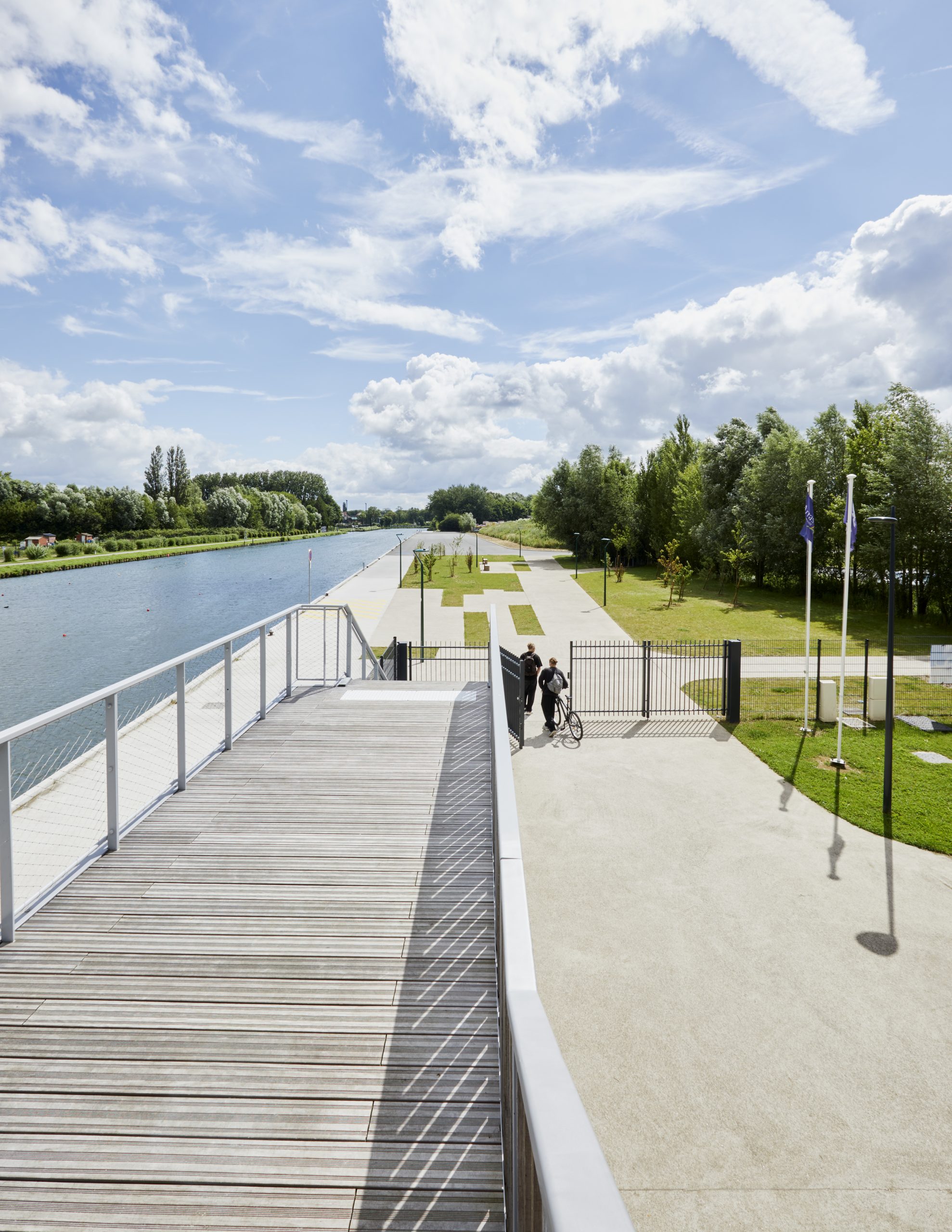
The landscape structure runs parallel to the Scarpe. A large landscaped parking area organizes the entrance to the facility. The parking spaces guide pedestrian flow towards the canal through pathways and lines of standard trees, creating a direct visual perspective of the water.
A key element of the landscape design, the vegetated areas are high-quality, environmentally respectful, and low-maintenance. Existing plant dynamics around the site served as the basis for our approach. The plant palette was developed accordingly to contribute to the creation of ecological corridors extending beyond the project’s boundaries.


Trees were carefully selected for their growth relative to the size of the buildings. Their development will be optimal without interfering with the structures. They are suited to the regional climate and to different environments (wetlands, natural areas, urban spaces, and riparian zones). Grass species were chosen for their ability to regenerate easily after periods of drought.
Stormwater management is implemented in accordance with the collective sanitation regulations of the Arras Urban Community. This involves on-site water management, with retention structures sized based on a ten-year rainfall event. Runoff from roads, parking areas, and pedestrian zones is collected and directed to a retention swale designed for this purpose. In addition, runoff from green spaces is infiltrated or absorbed by vegetation through evapotranspiration, directly on the plot near low points. Any excess water flows toward the nearest embankment, leading to the retention swale (engineered ditch).