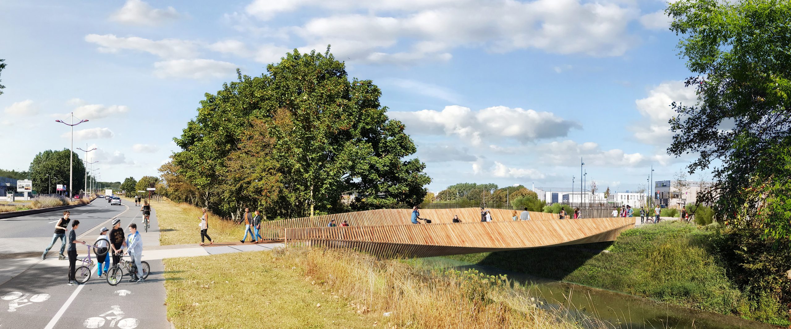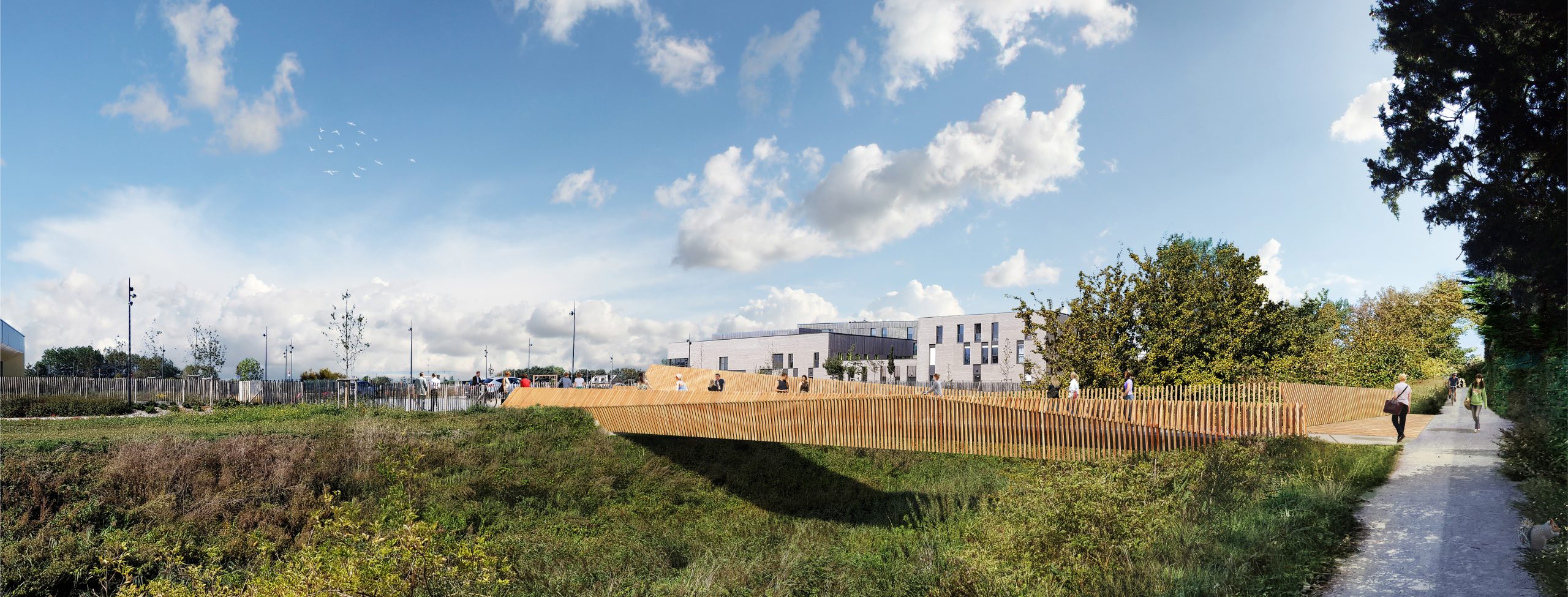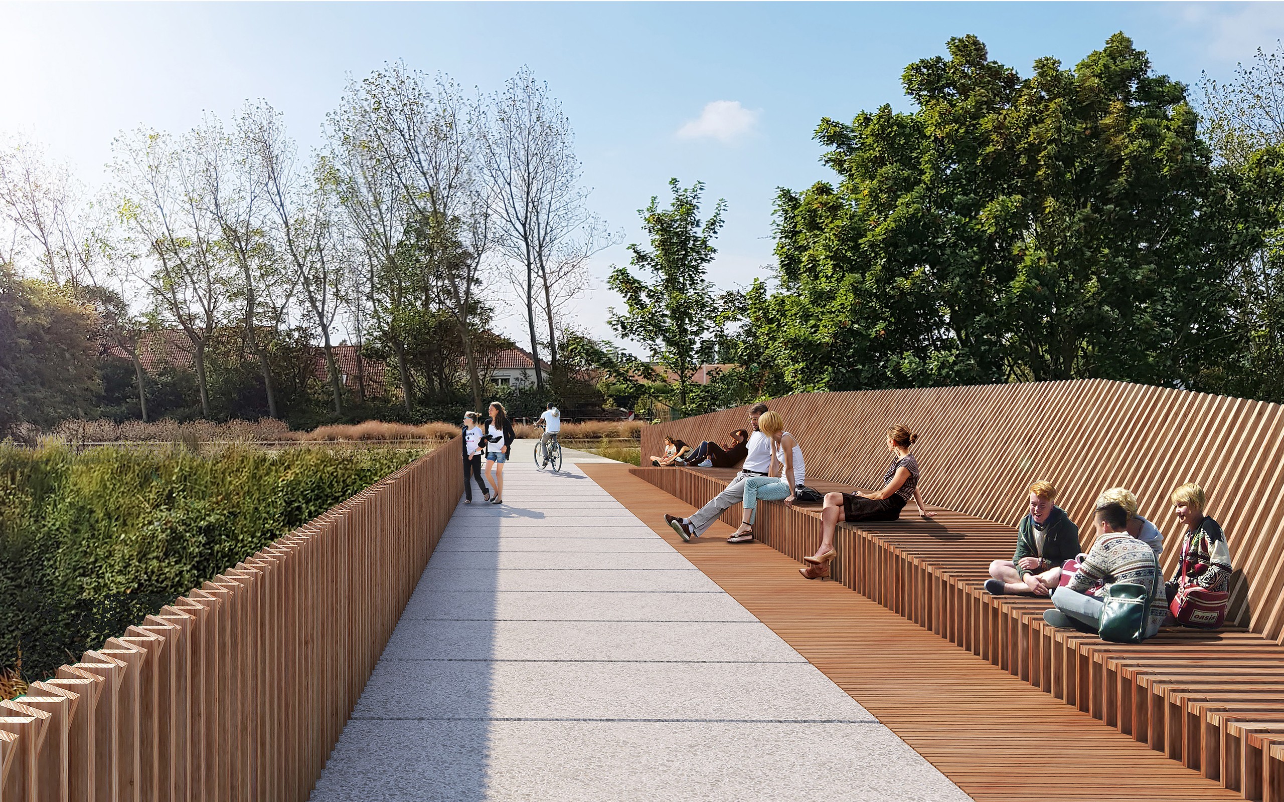
Since implementing its urban development plan in 2010, the city of Calais has pursued a policy of sustainable urban development, including initiatives such as the creation of eco-neighborhoods. Located between the Fort Nieulay, Saint-Pierre, and Calais Nord districts, on the edge of the larger landscape, the ZAC Coubertin project is part of these ambitious initiatives, central to the city’s strategy of urban reconnection.
Positioned at the transition between suburban landscapes and recent urban expansions, this new neighborhood is ideally located to create a new urban link between adjacent districts of Calais. Nature, present through woodlands and canals, offers multiple opportunities for landscape and urban design, with environmental considerations to be developed.
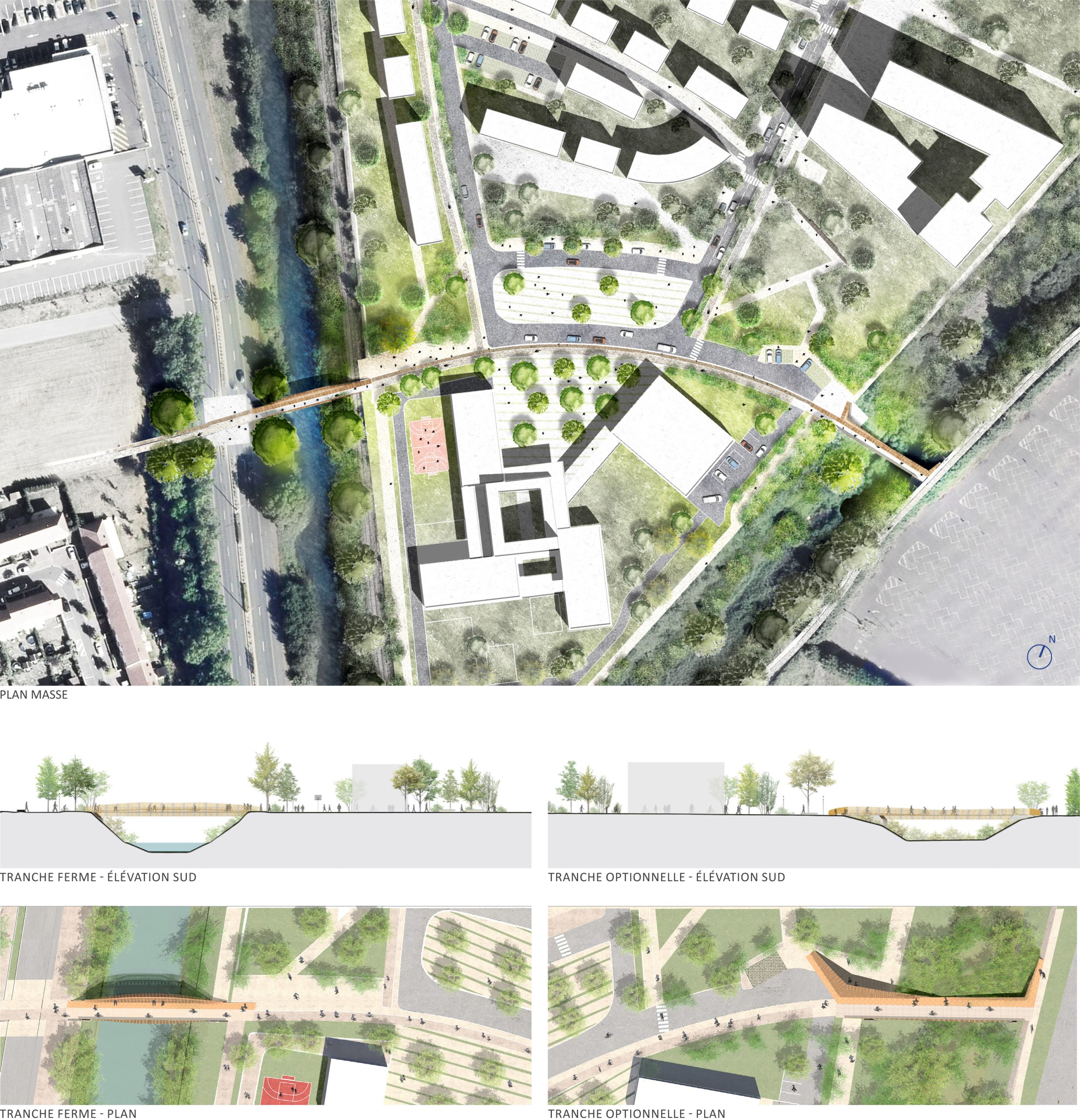
Currently accessible only via Avenue Pierre de Coubertin, the ZAC is enclosed between two canals, the railway network, and the major Verdun and Coubertin avenues. The creation of pedestrian and bicycle bridges connecting Fort Nieulay to the Saint-Pierre and Calais Nord districts is therefore essential for the development of the new neighborhood. This connective urbanization is critical to the arrival of facilities and housing within the ZAC.
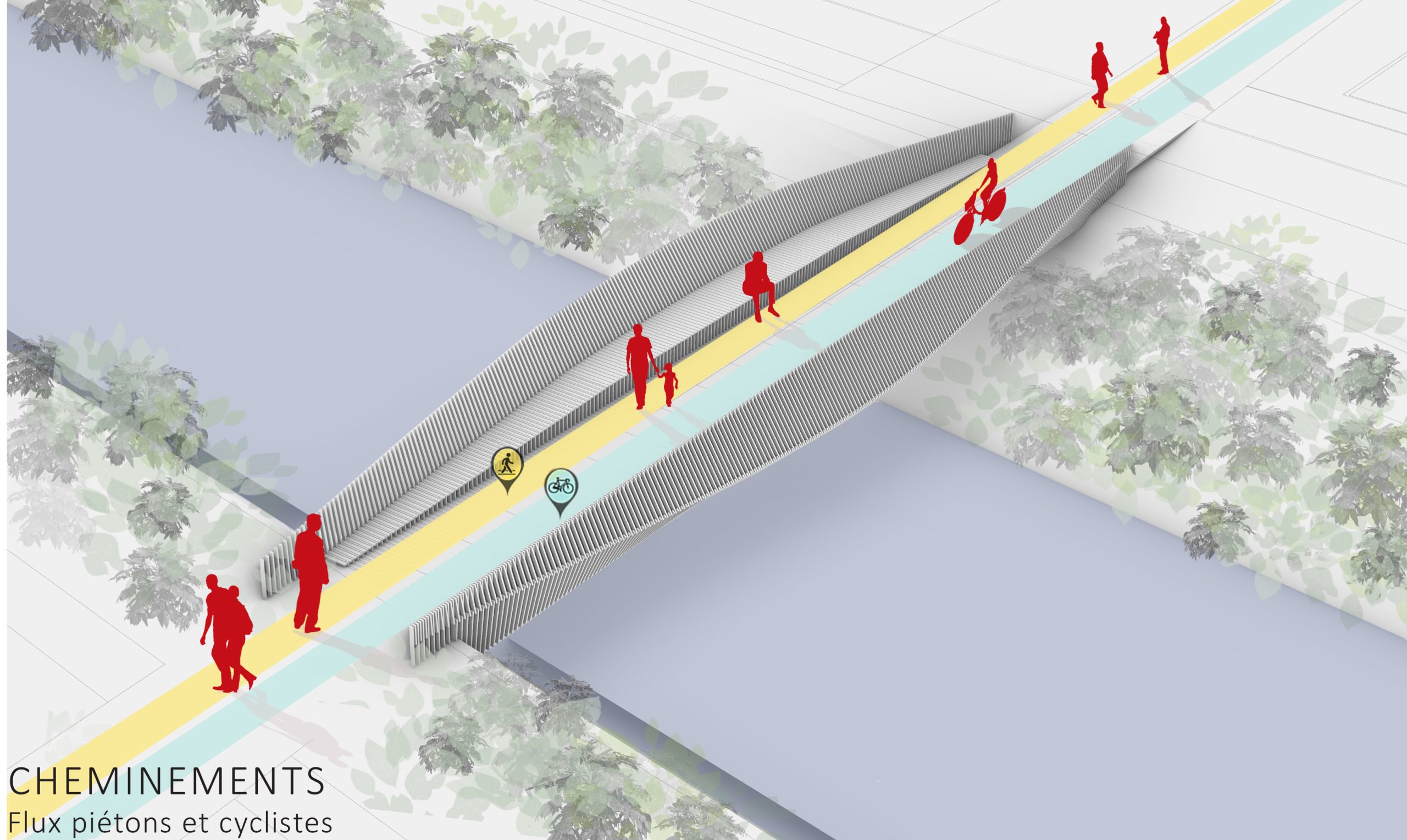
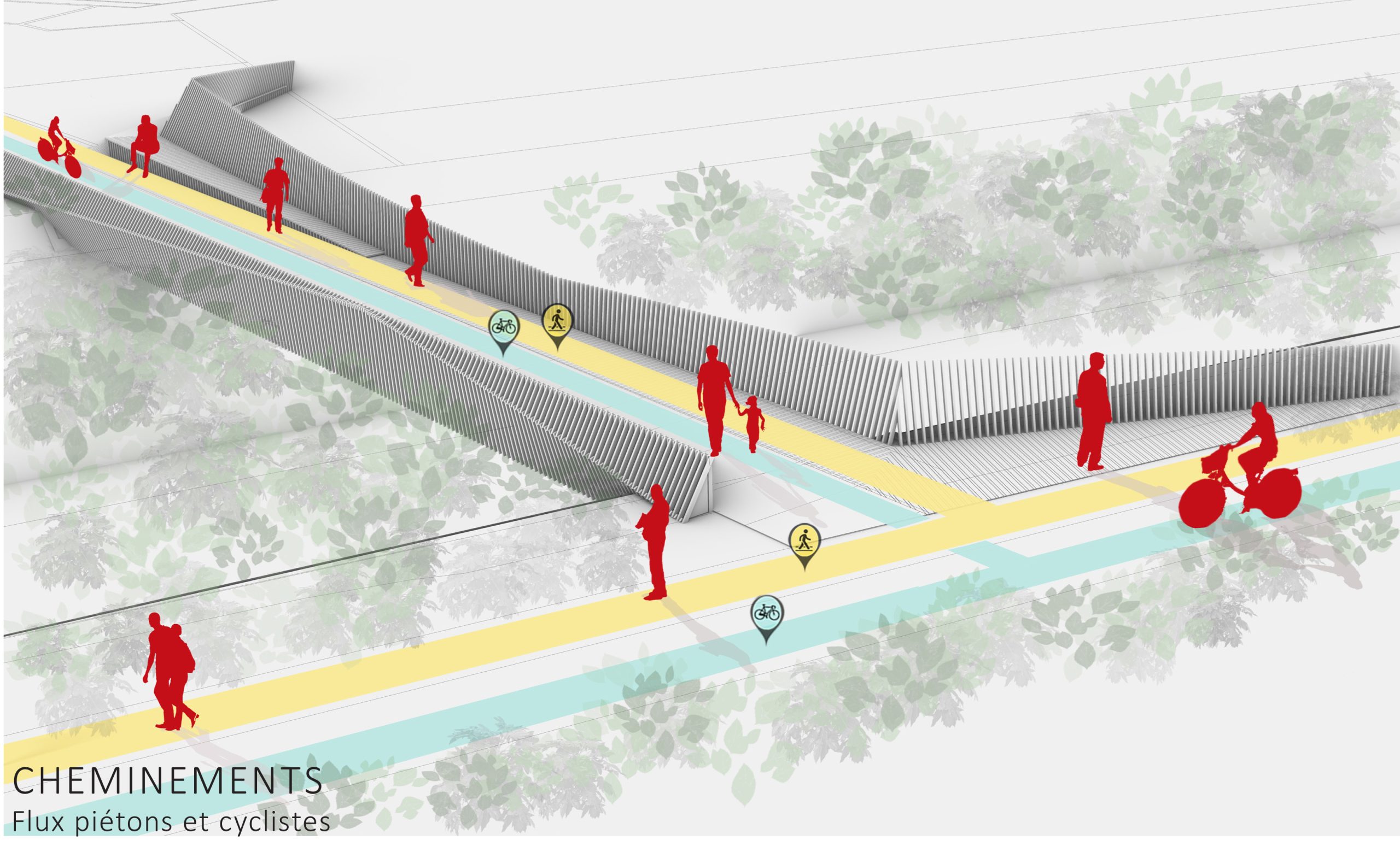
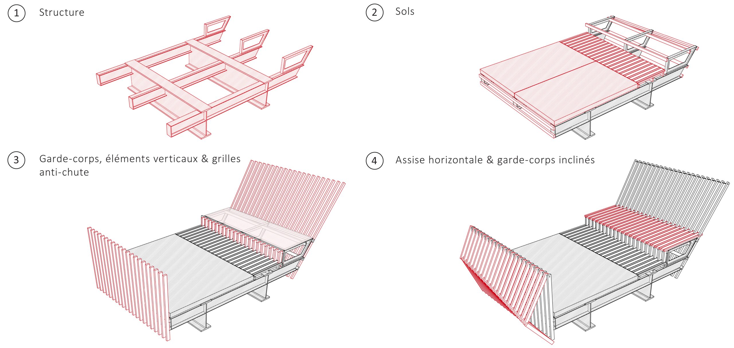
The placement of the two bridges, extending the pedestrian path separating the Centre de Loisirs Coluche to the south from a more residential zone to the north, allows circulation through the heart of the site. These crossings also provide the opportunity to connect the new space to the west with Fort Nieulay via a promenade leading to Collège Vauban, while linking the Chemin des Écoliers, a landscaped path serving the Lycée Professionnel P. de Coubertin to the north, and the Scène Artistique Nationale Le Channel and Lycée S. Berthelot to the south.
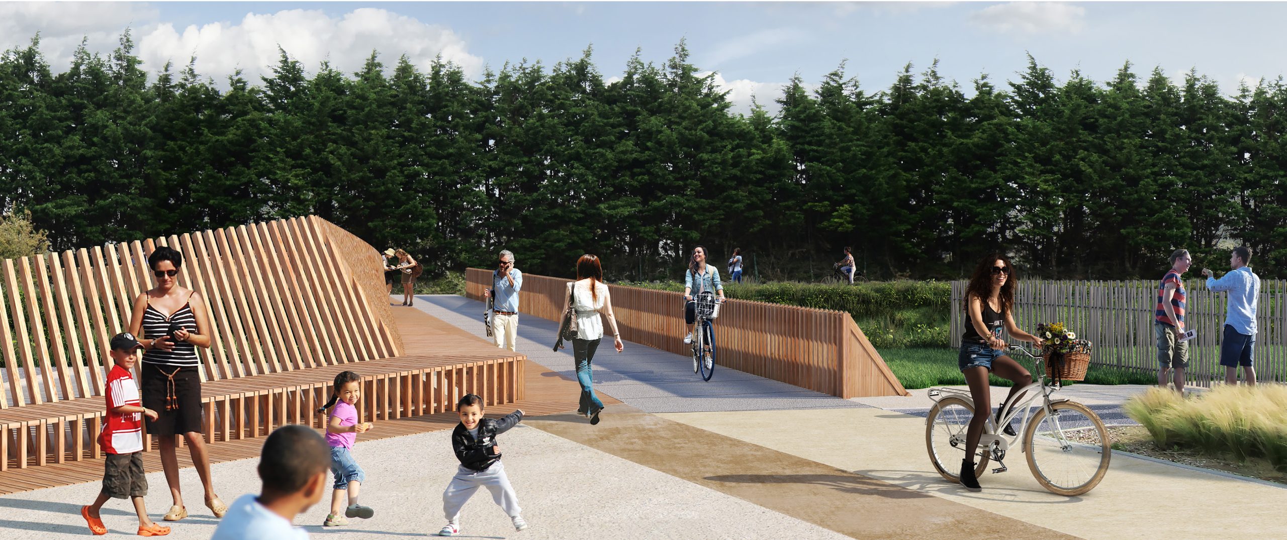
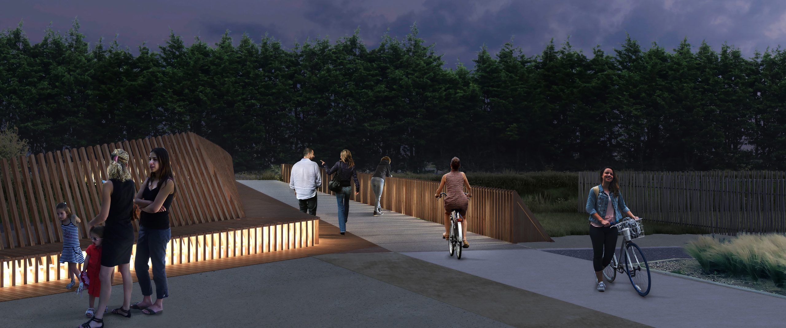
At the bridge exits toward the Coubertin district, the two crossings open onto a widened pedestrian path, enhancing soft mobility, while shifting motorized traffic and parking toward the main road network.